Solutions
Surveying & Mapping
Ground truth, captured at walking pace and delivered in the coordinate frame the project runs on.
Topographic survey
Terrain, breaklines and surface detail captured continuously rather than point by point.
Boundary & site measurement
Dense, georeferenced records of existing conditions for design and consent.
Stockpile & volume calculation
Repeatable volumetric measurement without interrupting site operations.
Underground & confined space
SLAM-based capture where GNSS cannot reach — basements, tunnels, plant rooms.
Measurement first. The instrument follows.
A survey deliverable is judged on accuracy, completeness and coordinate integrity. Mettle Works specifies capture systems around those three tests: RTK-referenced trajectories for absolute position, centimetre-class relative accuracy through the point cloud, and field control that confirms coverage before the operator leaves site.
Because handheld SLAM systems capture at walking pace, the economics of a survey change: more visits, shorter windows, less disruption—with the data landing directly in LixelStudio for classification, ground extraction and export to the formats your workflow already uses.
Capture
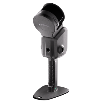
Walk the site with RTK-referenced handheld LiDAR; live coverage preview in LixelGO.
Process
SLAM optimisation, colourisation and georeferencing in LixelStudio.
Analyse
Ground classification, contour and breakline extraction, volume computation.
Deliver
Georeferenced .las/.e57 point clouds, DTM surfaces and survey-ready exports.
Surveying & Mapping
Speak with us about the application first.
Every environment, tolerance and deliverable is different. We will confirm the right system and workflow for yours before any commitment.