Featured Technology
Instruments for capturing the physical world.
From lightweight mobile scanning to high-detail spatial capture, explore professional systems selected for real field and project environments.
05Range Comparison Matrix
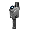
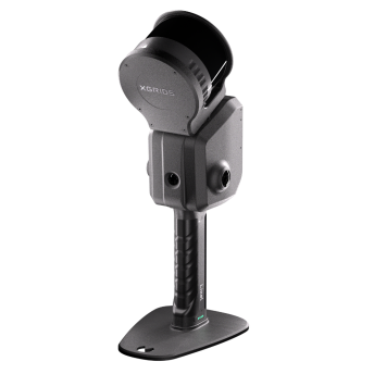
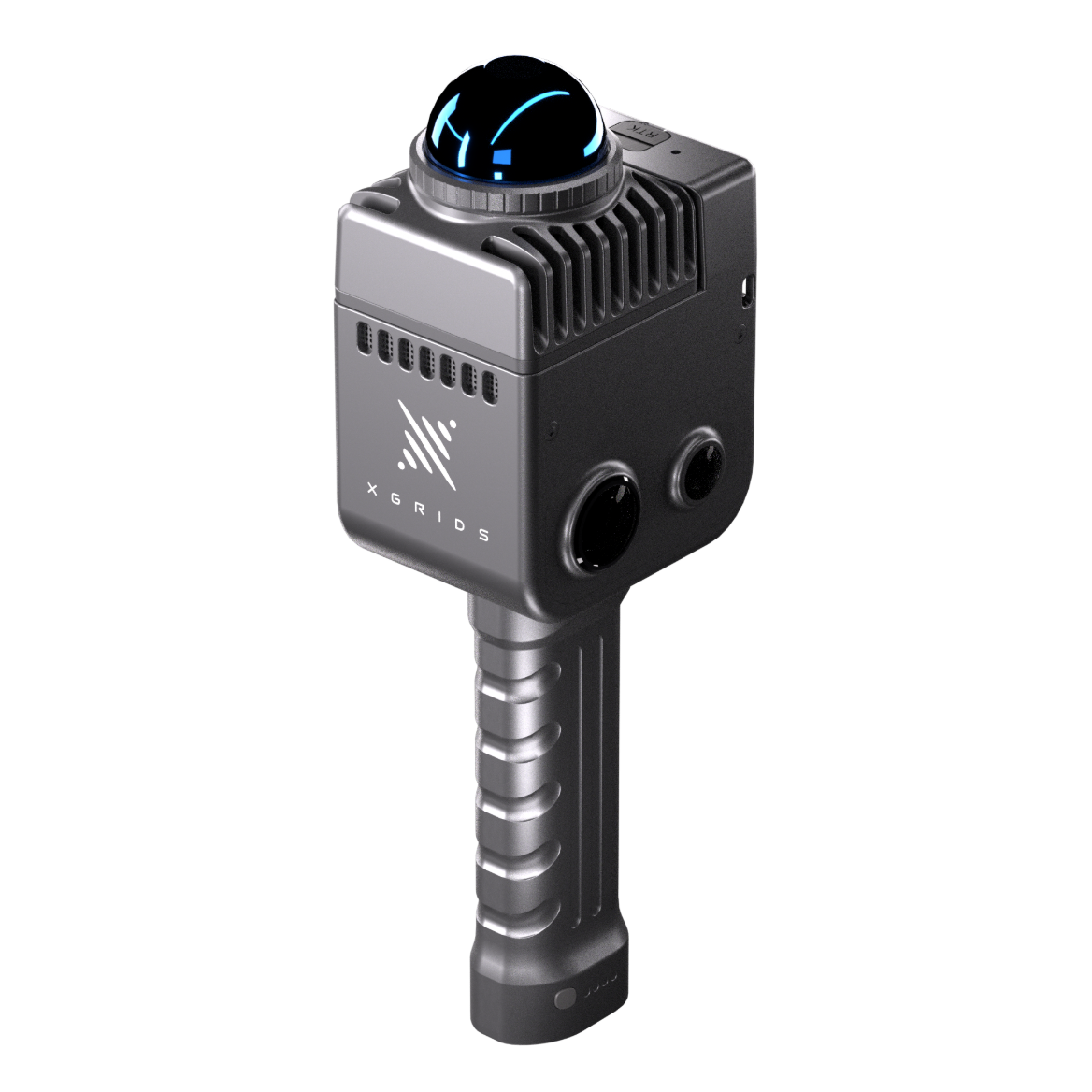
| Measure | Lixel K2 | Lixel L2 Pro | PortalCam | LixelKity K1 |
|---|---|---|---|---|
| Point Rate | 200,000 pts/s | 320,000 / 640,000 pts/s | 856,000 pts/s | 200,000 pts/s |
| Scan Range | 40 m @10% · 70 m @80% (max 100 m) | 0.5–120 m or 0.5–300 m | 0.1–30 m @10% · 60 m @90% | 0.1–40 m @10% · 70 m @80% |
| Relative Accuracy | ≤1 cm RMSE | ≤1 cm RMSE within 100 m | ≤2 cm RMSE | 1.2 cm |
| Absolute Accuracy | 3 cm RMSE with RTK | ≤3 cm RMSE with RTK / GCPs | — (3DGS workflow) | 3 cm (RTK optional) |
| Weight | ≈1.2 kg incl. battery | ≈1.7 kg excl. battery | ≈0.9 kg excl. tripod | 1 kg |
| Primary Output | Point cloud · mesh · 3DGS | Point cloud · mesh · 3DGS | 3DGS scenes | Colourised point cloud (.las) |
Values condition-dependent — confirm against current XGRIDS datasheet at time of order
Brand: XGRIDS — Supplied and supported by Mettle Works
Configuration, accessories and software licensing are confirmed in consultation. Speak with Mettle Works about the application first.