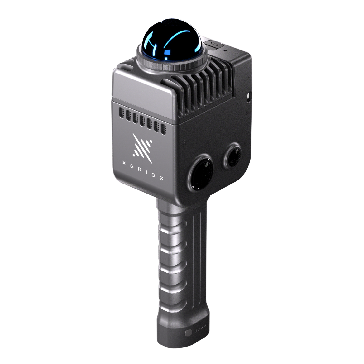
 lixelkity_k1_hero.png
Compact Reality Capture · Brand: XGRIDS
XGRIDS LixelKity K1
Compact Yet Powerful. Field-Ready in Minutes.
Compact professional reality capture for single-operator workflows.
0.1–40 m @10% · 70 m @80%
Scan Range
200,000 pts/s
Point Rate
1.2 cm
Relative Accuracy
360° × 360° · max 56 MP
Panorama
1 kg
Weight
1.5 h
Operating Time
The one-kilogram survey instrument.
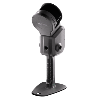
The LixelKity K1 compresses the professional capture workflow into one kilogram of navigational-grade aluminium. A 360° × 360° colour panorama from its four-camera module, 200,000 points per second, and 1.2-centimetre relative accuracy—carried in one hand, running within minutes of arriving on site.
For practices that need dependable reality capture on every visit rather than a dedicated survey crew, the K1 makes the scanner a standard part of the site kit. Optional RTK extends it to absolute coordinates when the brief requires it.
Capture
- 0.1–40 m range @10% reflectivity (70 m @80%)
- 200,000 points per second
- 360° FOV, −7° to +52° vertical
Positioning
- SLAM trajectory
- Optional RTK module for absolute positioning
- 0.015° horizontal accuracy
Performance
- 1.2 cm relative accuracy
- 3 cm absolute accuracy
- 2 cm repeatability
Field Operation
- 1 kg — navigational aluminium shell
- 1.5 h operating time · 28.8 Wh battery · <20 W draw
- IP54 · −20 °C to 50 °C
Connectivity
- USB 3.1 Gen2
- Dual-band Wi-Fi (2.4 / 5.2 / 5.8 GHz)
- 256 GB TF card storage
Software
- LixelStudio processing included
- Colourised point cloud output (.las)
Field capture, desktop processing and spatial content delivery form one continuous workflow. Mettle Works configures and supports the complete pipeline as part of supply.
LiDAR System
Imaging
Accuracy
Positioning
Physical
Environmental
Power
Storage & Connectivity
Software & Output
Manufacturer-verified values — confirm against current XGRIDS datasheet at time of order
Download Centre
- Datasheet PDFIssued with technical brief
- User ManualIssued with technical brief
- Quick Start GuideIssued with technical brief
Support
Every instrument supplied by Mettle Works is delivered with product consultation, onboarding and continuing technical support. Import, export and project logistics are coordinated from Hong Kong as part of supply.
XGRIDS LixelKity K1
Specify with confidence.
Speak with Mettle Works about the application first. We will confirm configuration, logistics and support for your project before any commitment.