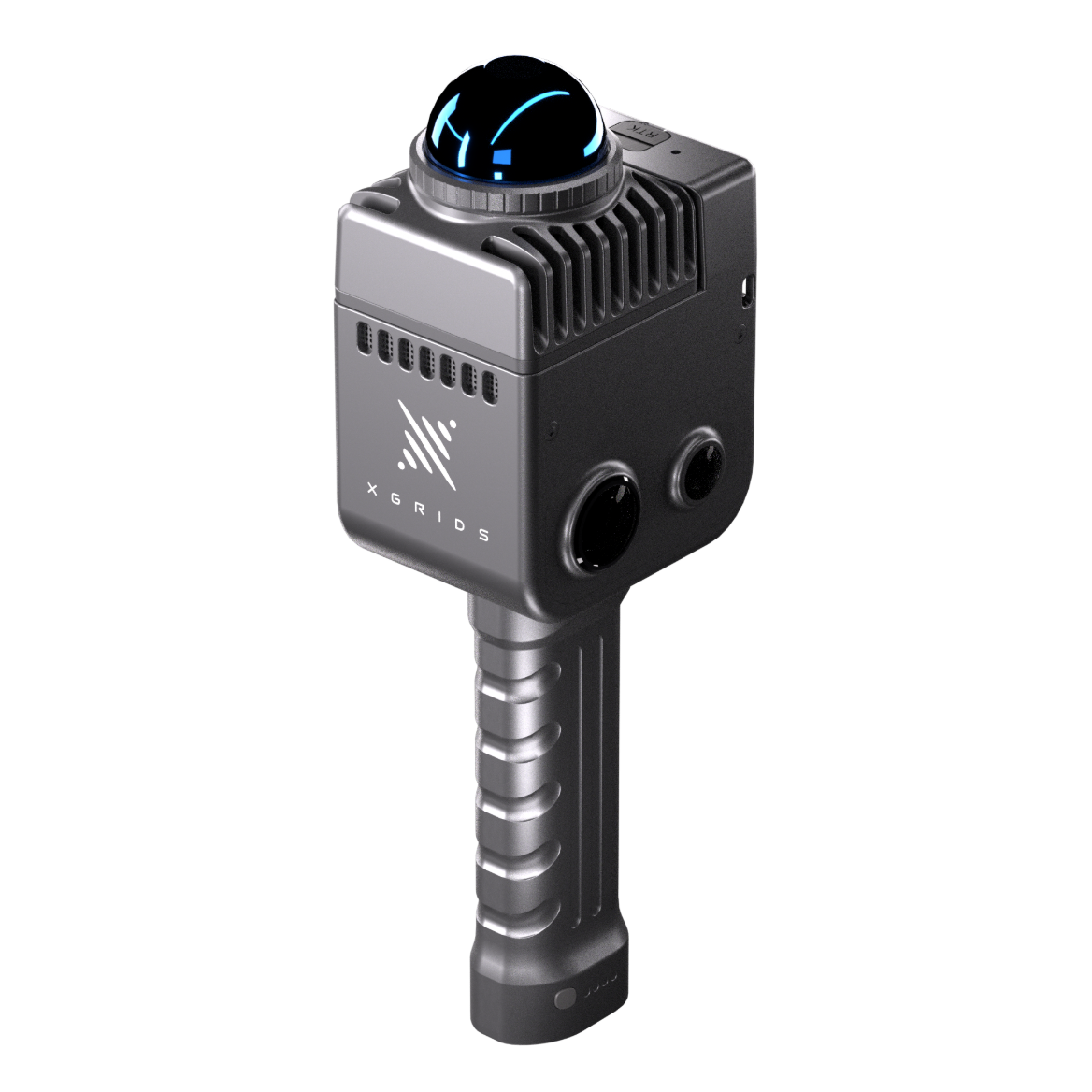
 portalcam_hero.png
Spatial Camera · Brand: XGRIDS
XGRIDS PortalCam
The First True Spatial Camera.
Spatial capture for photorealistic, navigable 3D environments.
0.1–30 m @10% · 60 m @90%
Scan Range
856,000 pts/s
Point Rate
96
LiDAR Channels
4-camera array (2 fisheye + 2 front)
Camera System
≈0.9 kg excl. tripod
Weight
3D Gaussian Splatting
Output
Real-time scanning and modelling, in one device.
The PortalCam approaches capture from the imaging side: a 96-channel LiDAR at 856,000 points per second fused with a four-camera array, engineered specifically for 3D Gaussian Splatting output. The result is not a point cloud that resembles a place—it is a photorealistic, navigable environment.
For real-estate documentation, film location scouting, heritage interiors and any brief where the deliverable must be experienced rather than merely measured, the PortalCam produces spatial content directly, processed through the LCC pipeline.
Capture
- 96-channel LiDAR at 856,000 points per second
- 180° × 180° field of view
- Four-camera array: 2 fisheye (200° × 200°) + 2 front (100° × 85°)
Positioning
- SLAM-based real-time alignment
- Tripod and handheld operation
Performance
- ≤2 cm relative accuracy (RMSE)
- Photorealistic 3DGS reconstruction
Field Operation
- ≈0.9 kg without tripod
- ≈60 minutes per battery
- −20 °C to 45 °C operating range (indirect sunlight)
Connectivity
- 512 GB internal eMMC
- LCC Scan field application
Software
- Lixel CyberColor processing
- LCC for Revit · LCC Plugin for UE
- Navigable 3DGS scene deliverables
Field capture, desktop processing and spatial content delivery form one continuous workflow. Mettle Works configures and supports the complete pipeline as part of supply.
LiDAR System
Imaging
Accuracy
Physical
Power
Storage
Software
Output
Manufacturer-verified values — confirm against current XGRIDS datasheet at time of order
Download Centre
- Datasheet PDFIssued with technical brief
- User ManualIssued with technical brief
- Quick Start GuideIssued with technical brief
- LCC Workflow GuideIssued with technical brief
Support
Every instrument supplied by Mettle Works is delivered with product consultation, onboarding and continuing technical support. Import, export and project logistics are coordinated from Hong Kong as part of supply.
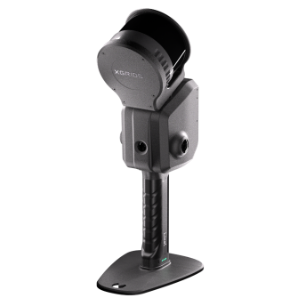
XGRIDS PortalCam
Specify with confidence.
Speak with Mettle Works about the application first. We will confirm configuration, logistics and support for your project before any commitment.